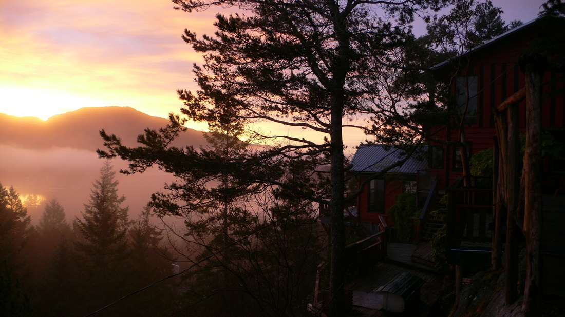
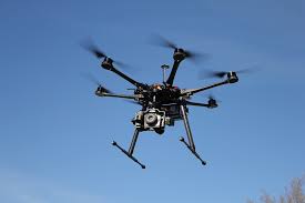
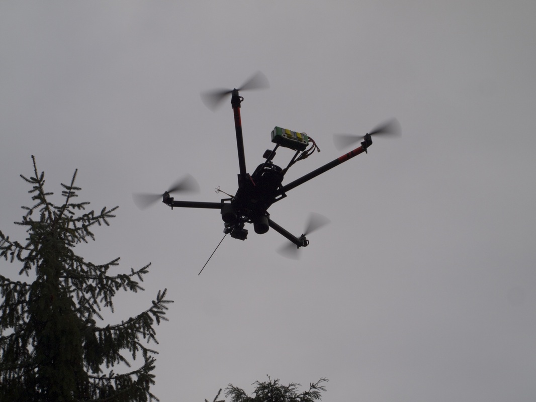
I specialize in low altitude, high definition aerial imaging services, mainly aerial still photography and mapping using a state of the art Unmanned Aerial Vehicle System.
My aerial photography offers a very cost effective alternative to manned aircraft aerial photography for a variety of applications in the fields of real estate, building site progress reports, 3D mapping / ortho photogrammetry, SAR, environmental planning and monitoring, agriculture, forestry, tourism and archeology among others. We also provide general photo services, the sky is the limit.
How we do it
First, I need to be given the geographical location of the project, then I'll have to submit an application to Transport Canada for a Special Flight Operations Certificate (SFOC) flight notification which has to be done at least 48 Hrs in advance.
Aerial photography is weather-dependent making it challenging for scheduling a particular shooting day in advance. Typically I book properties to be shot in a specific week.
After studying the weather forecast I will contact you on any day of that week or week-end and book, at your convenience, for a specific day. I must physically be on the property to do my aerial footage. The drone will be piloted within line of sight and at an altitude usually not exceeding 400 feet.
I will need ~45 minutes on site to accomplish my aerial footage for one property.
Please note that all photos on the website are protected by copyright. Any use without express written permission is forbidden
